About Owls Nest Studio

Aerial data built for the work behind the work.

We close the gap between what is happening on the ground and what your project team can see, measure, and act on.

Who we are

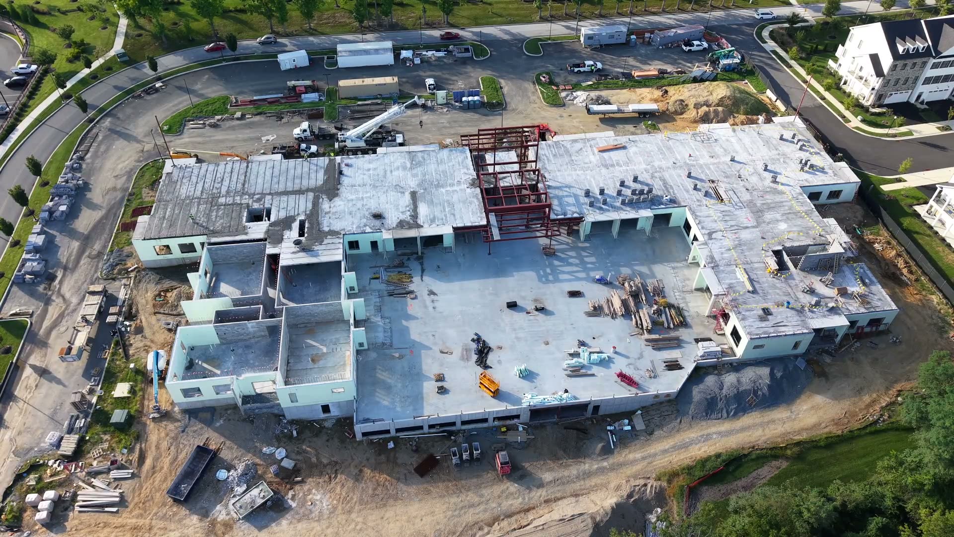
Owls Nest Studio is an aerial data and imaging firm focused on four services: aerial topo and mapping, stockpile and earthwork volumes, construction progress monitoring, and subcontract capture for survey and engineering firms. We exist to close the gap between what's happening on the ground and what your project team can see, measure, and act on, quickly, accurately, and without disrupting active work sites.

We were founded on a simple belief: aerial data should be a working tool for engineers and project managers, not just a marketing add-on. Every flight we run, every deliverable we produce, is built to plug directly into the workflows AEC professionals already use, including CAD, GIS, and project management platforms, so the data we capture becomes part of your process, not an extra step in it.
Our approach

Documentation, precision, and accountability on every project.

We treat each engagement the way a civil engineering firm treats its work: with a repeatable method and a clear line from field capture to final decision.

01 / METHOD

Repeatable, defensible methodology

Every site is tied to ground control points measured with our GNSS receiver and refined with PPK processing. Operators set and check each point by hand, giving us detailed control over every part of the data and the final product.

02 / OUTPUT

Deliverables built for your tools

Orthomosaics, point clouds, and models are exported in the formats your engineers and surveyors already use.

03 / SAFETY

Safety and compliance first

FAA Part 107 operations, active-site safety protocols, and coordination with site supervisors are part of every job.

04 / TECHNOLOGY

Technology that earns its place

We adopt new tools, including AI-assisted processing, only when they make our data faster to deliver or more accurate.

Our mission

To give contractors, developers, and survey and engineering firms a clearer, faster, more accurate view of their projects, from the air, backed by technology that works as hard as they do.

Why Owls Nest Studio

A responsive technical partner, from first flight to final file.

Mapping-Grade Deliverables

Orthos, DSM/DTM, contours, point clouds, and volume reports, ready for CAD and GIS.

Certified and Insured Operations

FAA Part 107 certified pilots, comprehensive liability coverage, and site-safety protocols.

Fast, AI-Accelerated Turnaround

Technology-driven processing gets accurate deliverables into your hands faster.

Consistent, Repeatable Methodology

The same ground control + PPK workflow on every job makes flight-to-flight data comparable, down to sub-centimeter.

Responsive Local Team

Based in Delaware, available for recurring monitoring and rush capture in 24–72 hrs.

Secure Data Handling

Client data is stored and transmitted securely, with clear data-ownership terms.

Work with us

Let's Talk About Your Next Project

Tell us what your team needs to see, measure, and act on.

  • Response within 1 business day
  • Delaware and tri-state region
  • Rapid response available