Services

Aerial data to help your team see, measure, and move forward.

Owls Nest Studio maps sites, measures volumes, tracks construction progress, and captures data for survey and engineering firms.

01 / Mapping

Aerial Topo & Mapping

Ground-control photogrammetry of your site: orthomosaic, surface models, and contours for design, planning, and GIS. Operators set and check GNSS-measured ground control, then PPK processing refines the data for centimeter-level accuracy, down to sub-centimeter.

2–4 days turnaround

Deliverables

Orthomosaic GeoTIFF, DSM/DTM, contours (DWG/DXF), point cloud, and accuracy report.

Starting price

$1,200–$3,500 per site (up to ~50 acres). Package: Site Map Pro.

Built for

Landscaping, tree and grounds, developers and homebuilders, government and public agencies, and solar developers and installers.

02 / Volumes

Stockpile & Earthwork Volumes

Measured volumes of stockpiles, pits, cut/fill, and landfill airspace, tracked flight to flight.

24–72 hrs turnaround

Deliverables

Per-pile volume report (PDF/CSV), DSM change map, and inventory summary.

Starting price

$500–$1,500 per site/flight; annual programs $5k–$20k. Package: Volume Report.

Built for

Site work, excavation and paving, aggregates, quarries and landfills, and agriculture and farms.

03 / Construction

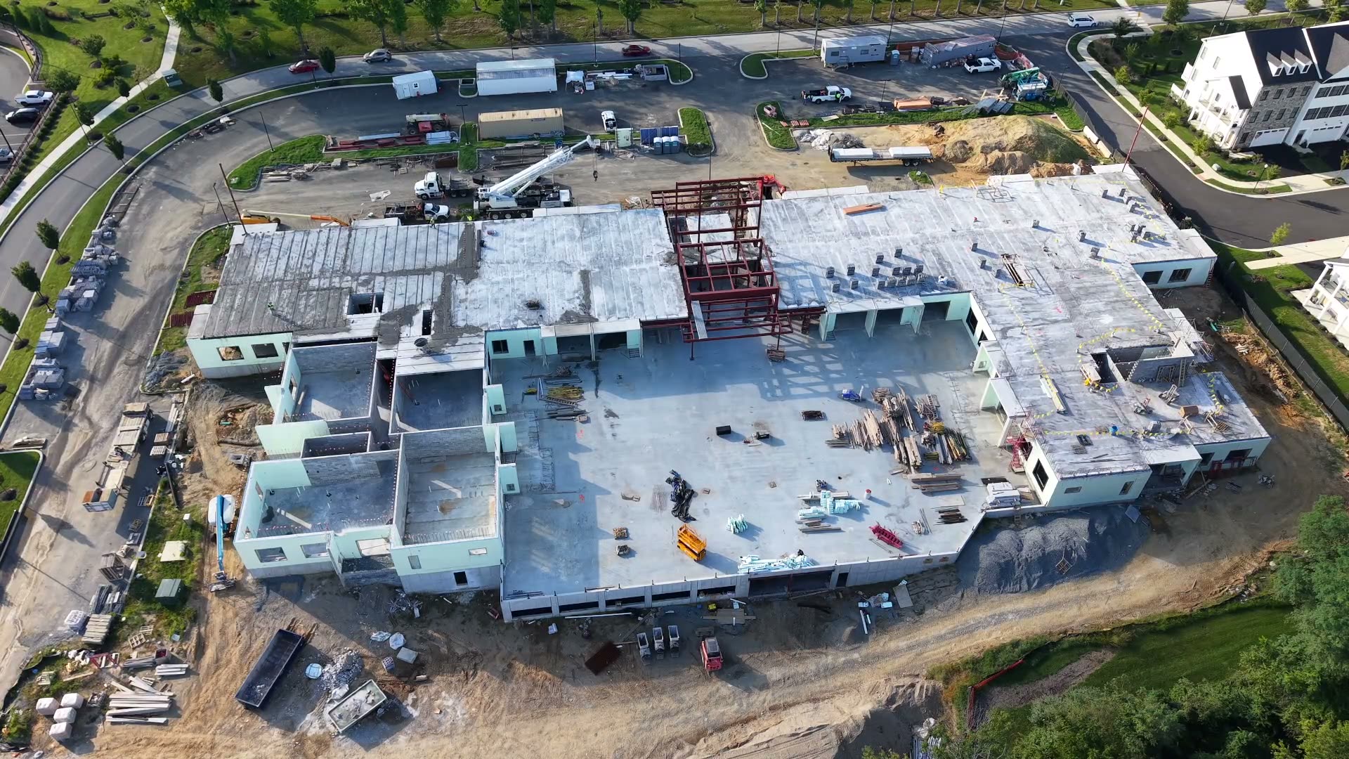
Construction Progress Monitoring

Scheduled flights on active jobs: dated orthos, oblique photos, cut/fill vs. design, time-lapse, and owner reports.

48 hrs per visit turnaround

Deliverables

Progress report with AI-assisted change detection, overlays, quantities, time-lapse, and viewer link.

Starting price

$750–$2,000 per visit; $1,500–$4,000/month retainer. Package: Monthly Progress Retainer.

Built for

General contractors, developers and homebuilders, and site work, excavation, and paving teams.

04 / Subcontract

Survey & Engineering Subcontract Capture

White-label aerial data capture and processing for firms whose PLS/PE certifies the final product.

Per job spec turnaround

Deliverables

Data in your coordinate system and CAD/GIS format.

Starting price

$1,500–$2,800 day rate, or per-site pricing. Package: On-Call Subcontract Day Rate.

Built for

Land surveying and civil engineering, engineering and environmental consulting, and drone and aerial peers.

Packages and pricing

Clear starting prices. Final quote scoped to your site.

Ranges are estimates; site size, access, and deliverables set the final number.

Site Snapshot

Starting at $350–$900
Single flight; orthomosaic plus oblique/nadir photo set. Ortho and geotagged photos in 24–48 hrs.

  • Real estate
  • Landscapers
  • Documentation

Site Map Pro

Starting at $1,200–$3,500
Ground-control mapping up to ~50 acres. Ortho GeoTIFF, DSM/DTM, contours, and point cloud in 2–4 days.

  • Survey/engineering
  • Developers
  • Solar pre-con

Volume Report

Starting at $500–$1,500
Stockpile or earthwork volumes with change vs. last flight. PDF/CSV report and DSM difference map in 24–72 hrs.

  • Quarries
  • Landfills
  • Contractors

Monthly Progress Retainer

Starting at $1,500–$4,000/mo
Per project, per month: scheduled flight, progress ortho, cut/fill, owner report, video, quantities, and viewer link. 48 hrs per visit.

  • GCs
  • Developers
  • Solar construction

On-Call Subcontract Day Rate

Starting at $1,500–$2,800/day
Pilot, aircraft, and processing for your firm's own job, delivered to your spec.

  • Survey
  • Engineering
  • Environmental

Rush / Storm Response

Starting at +25% to +50%
Add-on for 24–72 hr priority capture, on any package.

  • Add-on
  • Priority
Digital Elevation ModelSub-centimeter with GCP + PPK
Deliverables

Data that plugs straight into your workflow.

Every dataset is processed, verified, and exported in the formats your engineers, surveyors, and project managers already use.

  • GeoTIFF Orthomosaics
  • Point Clouds
  • DWG / DXF Contours
  • DSM / DTM Surfaces
  • Volumetric Reports
  • Progress Reports and Time-Lapse
Request a Sample Pack
Next step

Let's Talk About Your Next Project

Tell us what you need captured, measured, or monitored.

  • Response within 1 business day
  • Delaware and tri-state region
  • Rapid response available