Construction: General Contractors
Scheduled progress flights, cut/fill vs. design, and owner reports.
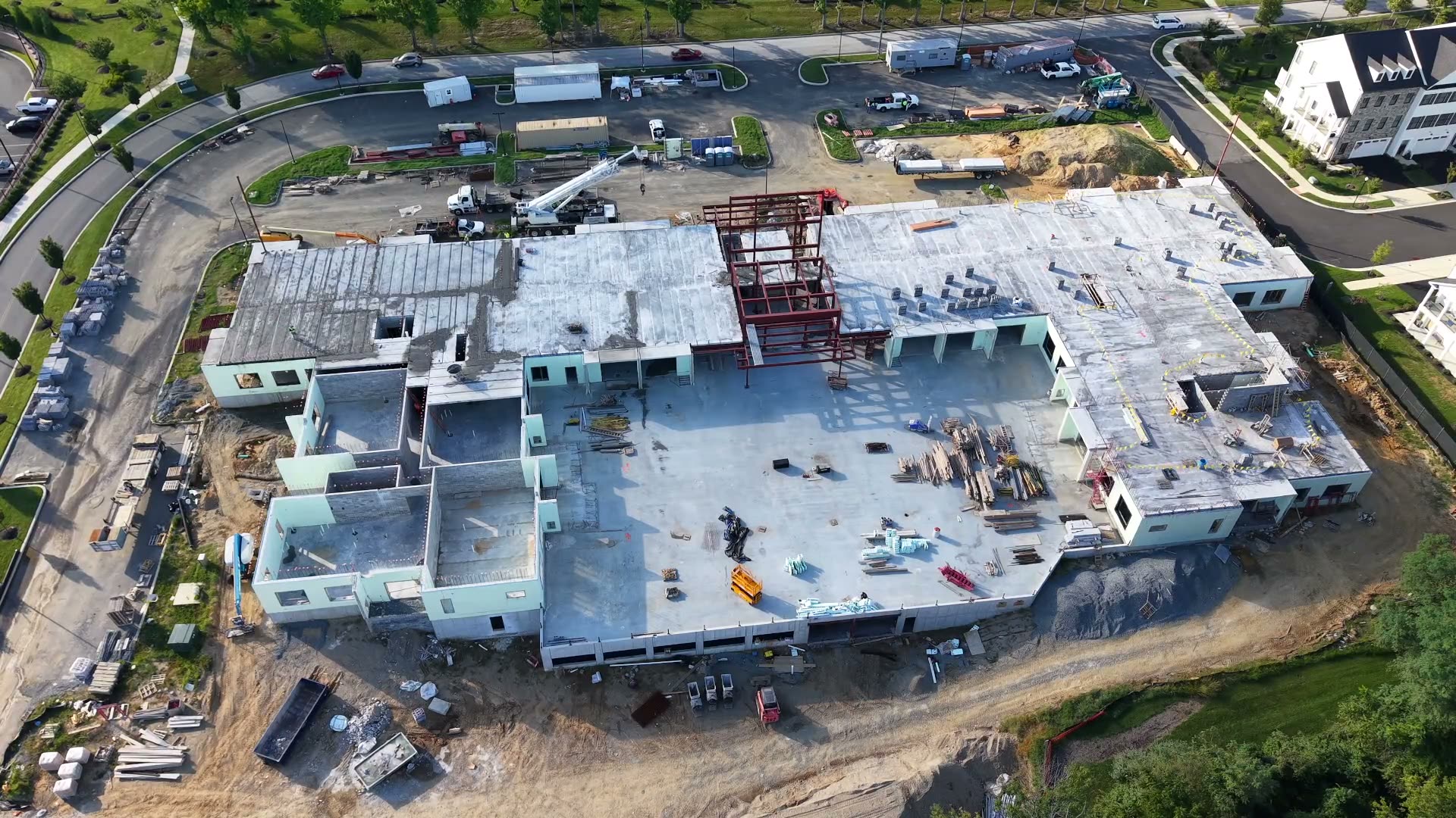
We support the contractors, earthmovers, developers, and survey and engineering firms who design and build on the land.
The right capture plan depends on the work your team needs to move forward. We start from one of our packages and scope it to your site.
Whether the need is a one-time map, a volume report, or recurring monitoring, our deliverables are built to fit the systems and review processes already in place.
Scheduled progress flights, cut/fill vs. design, and owner reports.
Stockpile and earthwork volumes plus progress tracking on active jobs.
Flight-to-flight inventory and landfill airspace measurements.
Topo mapping for design and progress monitoring through build-out.
White-label capture in your coordinate system; your PLS/PE certifies the final product.
On-call capture and processing delivered to your job spec.
Pre-construction topo mapping and construction progress monitoring.
Orthomosaics, surface models, and contours for planning and GIS.
Site maps and quick snapshots for planning and documentation.
Stockpile and earthwork volumes for on-farm materials.
Subcontract capture and processing support when you need extra capacity.
We will match your project to the right package, flight plan, and deliverables.