Scope and Site Assessment
We review project requirements, airspace considerations, and site access before scheduling.
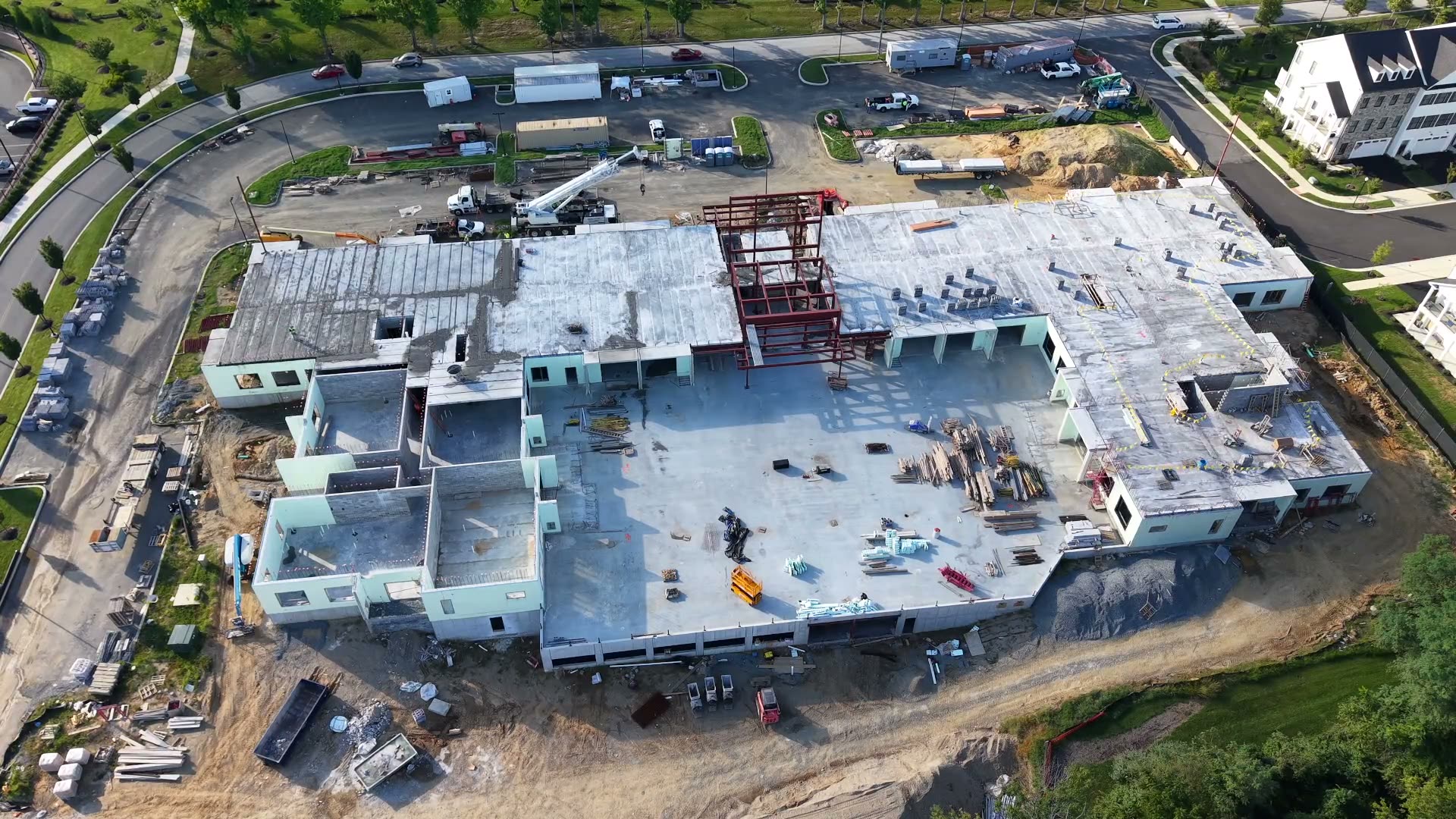
Every project follows a documented workflow built around safety, accuracy, and the formats your team already uses.
We scope the work before we fly, capture to a clear specification, and review every dataset before delivery.
We review project requirements, airspace considerations, and site access before scheduling.
Custom flight plans are built around your required accuracy, deliverable format, and site conditions, including FAA airspace authorization where needed.
Certified pilots execute the flight, capturing imagery to project specifications, with ground control points measured by our GNSS receiver and PPK processing for centimeter-level accuracy, down to sub-centimeter.
Data is processed through our accelerated workflow, with AI-assisted quality checks and manual review by our team.
Final deliverables are provided in your required formats, with support integrating them into your existing systems.
For construction and long-term monitoring projects, we establish a recurring flight schedule to track change over time.
Deliverables are processed, verified, and exported for direct use in CAD, GIS, and project management workflows.
Share the project location, timeline, and required outputs. We will take it from there.