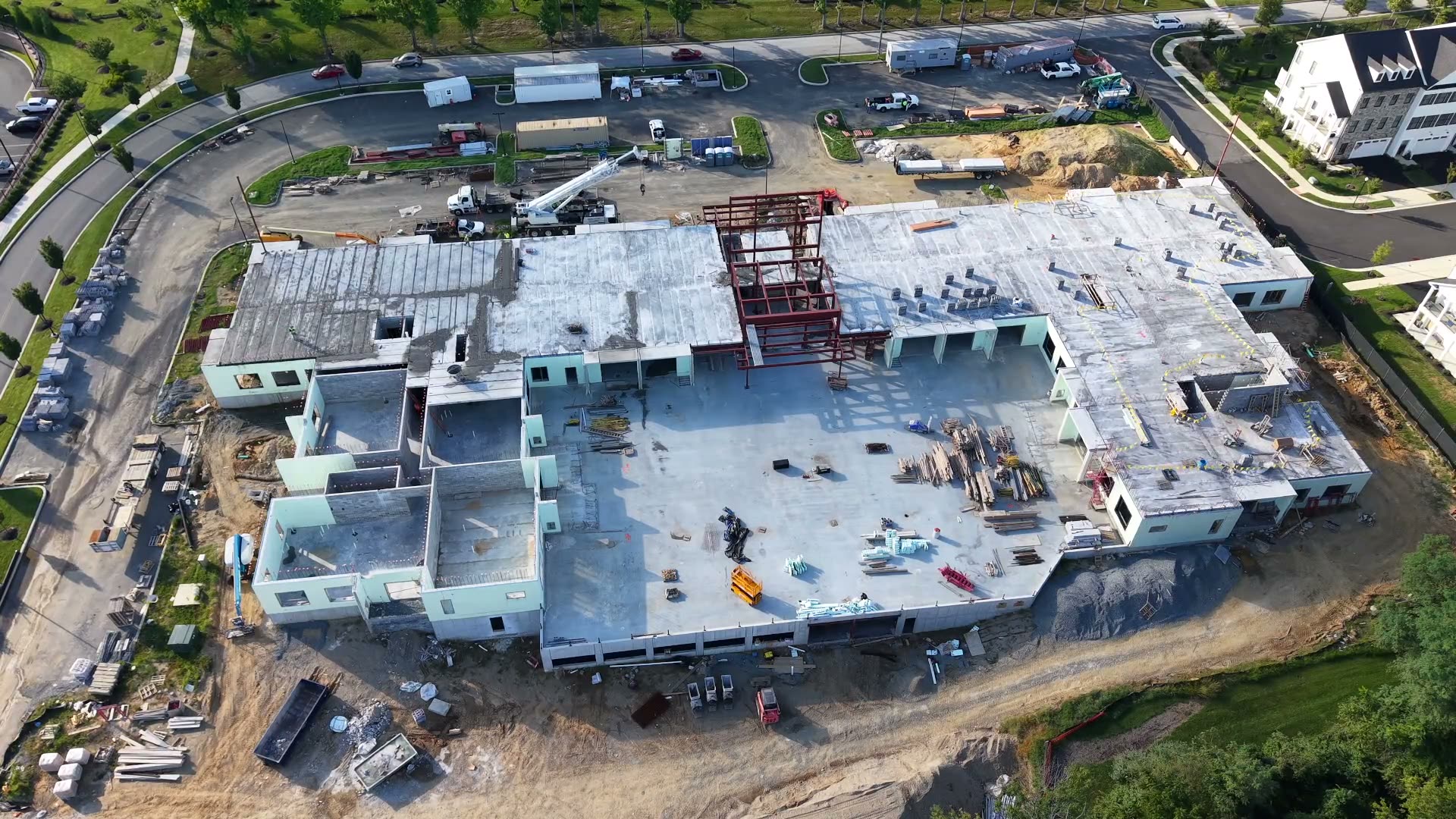
01 / Mapping
Aerial Topo & Mapping
Ground-control photogrammetry of your site: orthomosaic, surface models, and contours for design, planning, and GIS. Operators set and check GNSS-measured ground control, then PPK processing refines the data for centimeter-level accuracy, down to sub-centimeter.
2–4 days turnaroundDeliverables
Orthomosaic GeoTIFF, DSM/DTM, contours (DWG/DXF), point cloud, and accuracy report.
Starting price
$1,200–$3,500 per site (up to ~50 acres). Package: Site Map Pro.
Built for
Landscaping, tree and grounds, developers and homebuilders, government and public agencies, and solar developers and installers.