Ground control + PPK accuracy
Ground control points measured with our GNSS receiver, plus PPK processing, give us detailed control over every part of the data, down to sub-centimeter.
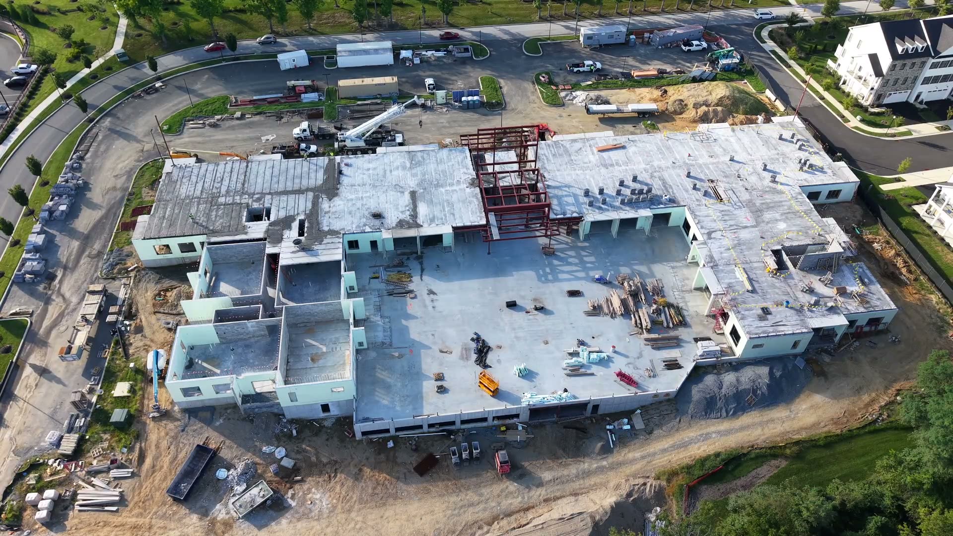
AI is a quiet advantage inside our workflow, helping us deliver consistent, reviewable data faster without replacing professional judgment.
Capturing aerial data is only half the job. What happens after the flight is where projects either move forward or stall waiting on deliverables.
AI-assisted tools support our processors and pilots, giving project teams a faster path to dependable information.
Ground control points measured with our GNSS receiver, plus PPK processing, give us detailed control over every part of the data, down to sub-centimeter.
Machine learning-optimized pipelines reduce the time between flight and deliverable without sacrificing accuracy.
AI-assisted checks on image overlap, control point residuals, and data completeness catch gaps before they become a problem in the field.
Automated comparison of sequential flight data highlights what has changed across progress, volume, and mapping projects.
Automation stays inside a documented process, with human review at the point where context and professional judgment matter most.
Operators set and measure ground control, then fly to the project specification.
PPK processing and accelerated tools assemble, compare, and check the dataset.
Our team reviews the output for completeness, context, and consistency.
Verified files arrive in the formats your engineering and GIS workflows use.
It doesn't replace the judgment of our licensed pilots, data processors, or the engineers who review our deliverables. Every AI-assisted output is reviewed by our team before it reaches you.
We use automation to surface information and reduce repetitive processing work. The final responsibility for what is delivered remains with our team.
We can scope the package, capture plan, and deliverables around your team's actual needs.